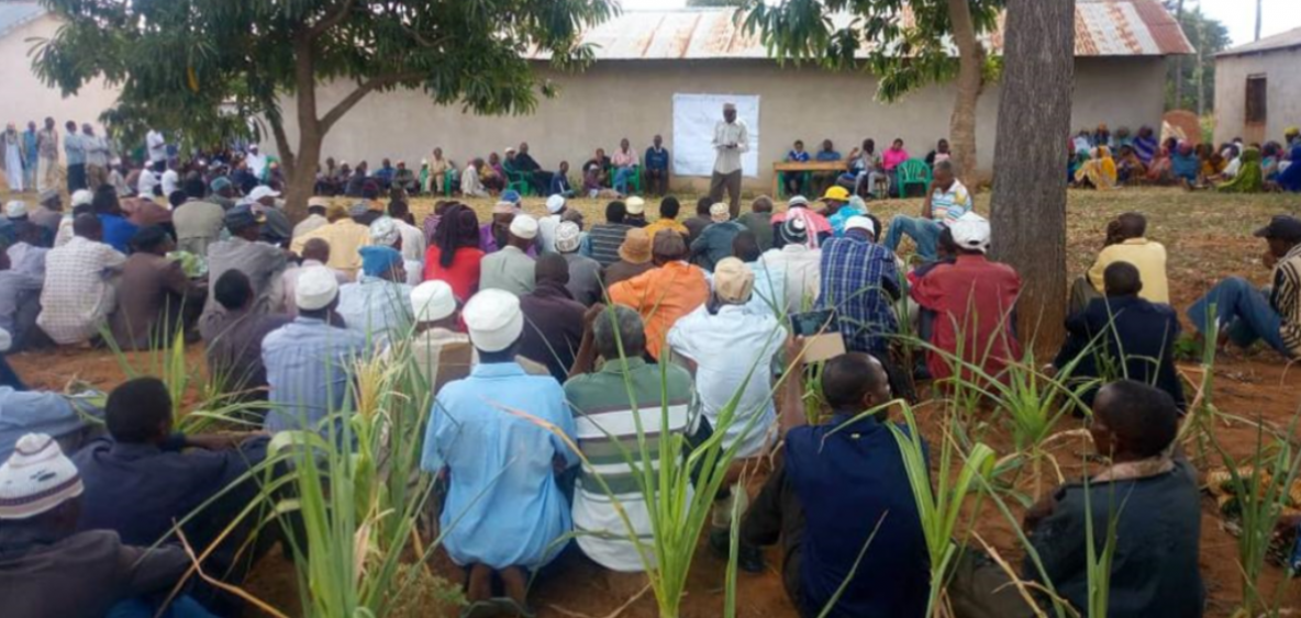
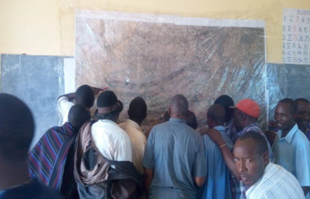
 Village assembly meetings to agree on land use plans and resource management in Haubi community, Kondoa District Tanzania. (Credit: NLUPC)
 Land and human interactions in Tanzania are complicated, so the Government of the United Republic of Tanzania facilitated an initiative that engages local people in creating participatory land use plans that reflect their contexts and needs. The RFS Tanzania project is piloting this approach on the ground in communities.
The landscape of Tanzania is truly something to behold. With abundant types of land-based resources, diverse geographic features and 64% of the population living rurally, human-nature interactions are complex and ever-changing.
To ensure food systems resilience, mitigate land-use conflict, conserve ecosystems, and promote the sustainable use of natural resources, the Government of the United Republic of Tanzania established the National Land Use Planning Commission (NLUPC) in 2007. The NLUPC works with policy and legal frameworks to coordinate land-use activities alongside a diverse array of stakeholders through participatory land-use plans.
One of the stakeholders engaged in this process is the Environment Division of the Vice President’s Office which coordinates the RFS Tanzania project Reversing Land Degradation trends and increasing Food Security in degraded ecosystems of semi-arid areas of central Tanzania (LDFS), which is led by the International Fund for Agricultural Development. The goal of the RFS Tanzania is to support food security and foster smallholder farmer and pastoralist resilience to climate and other shocks, and work to reverse land degradation. By engaging local people in the process of planning land use activities, the project has helped bring rural voices to the frontline of transformation in their communities.
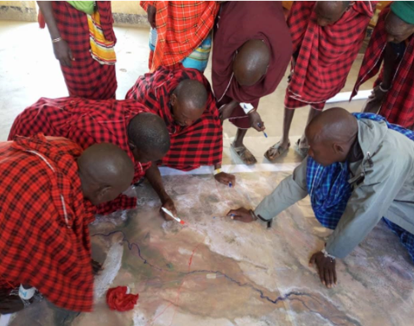
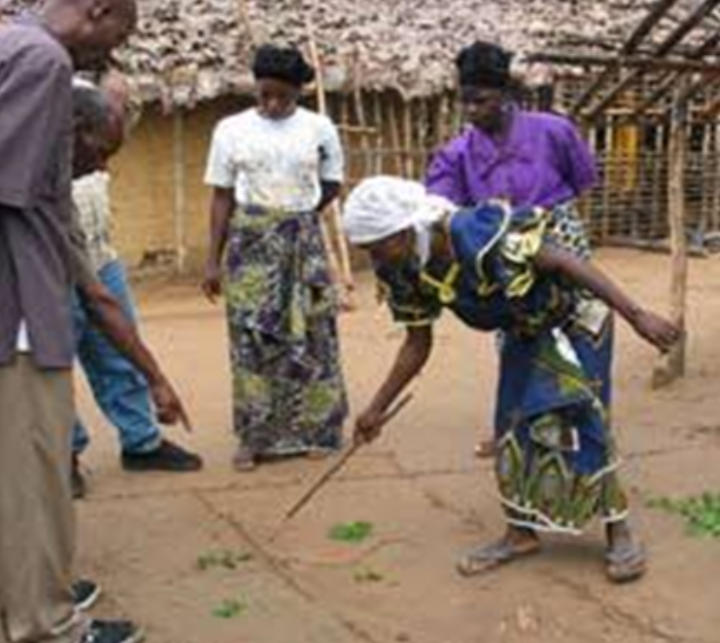
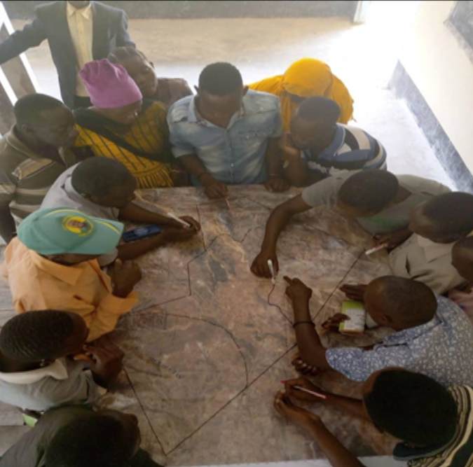
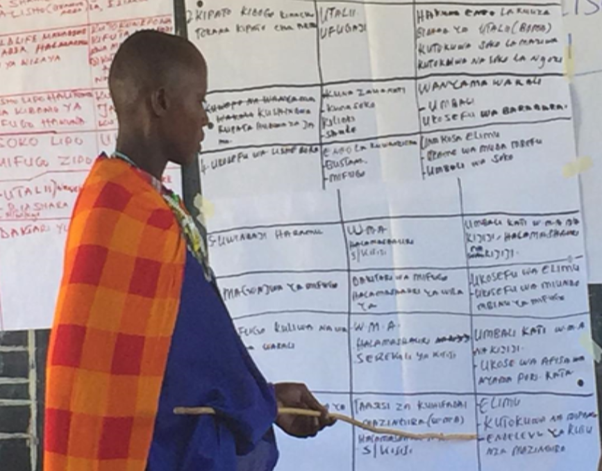
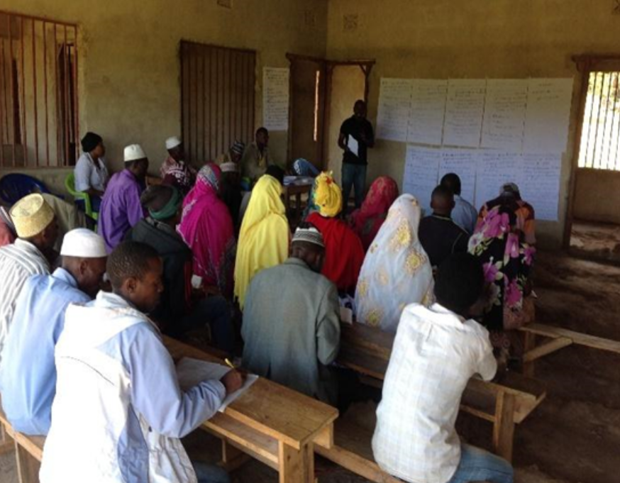
The RFS Tanzania project targeted 23 villages and shehia in semi-arid regions of Kondoa, Nzega, Mkalama, Magu and Micheweni districts. To meet the requirement of Tanzanian policy that land use plans are contextually relevant, reflecting the needs of villagers and people living nearby, the project sought to strengthen the capacities of local actors to engage with communities and conduct land use planning with them. This capacity was built with close collaboration between actors at multiple scales:
Several elements contribute to land use plans including mapping, action plans and negotiating boundaries. Land tenure is an especially important part securing sustainability of land-use activities, so the RFS Tanzania project has facilitated the preparation of 23 villages and shehia land use plans and issuance of 2,653 Certificates of Customary Right of Occupancy (CCRO) for rural people over the duration of the project.
The LDFS project is a pilot programme that will contribute to national, regional and global agendas and pave a new way forward for putting local needs first in land use planning. The project received a no-cost extension until March 2024, but emerging lessons are now available in a new poster that is available on the RFS Knowledge Centre. The participatory approach is expected to help mitigate land-use conflicts, increase the benefits that land brings to more stakeholders, and contribute to sustainability and actual implementation of the land use plans as they reflect the needs and interests of local stakeholders.
Subscribe to our monthly newsletter to receive updates on stories directly from the field across all our projects, upcoming events, new resources, and more.